

Alluvial Geoarchaeology
Many archaeological sites are buried by alluvium in floodplain and terrace settings. Finding and studying these sites can provide new insights into how river systems evolved throughout the Holocene.
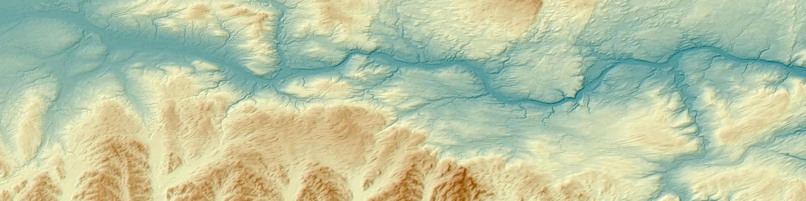
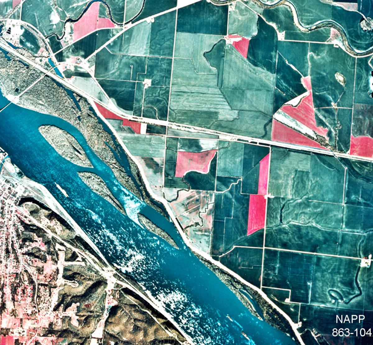
This topic has long been a staple of Geoarchaeology, given the close relationships between peoples and rivers. Compelled to work at the minute scales of archaeological excavations, geoarchaeologist routinely find that subsurface stratigraphy in alluvial settings is much more complex than surface conditions can reveal. This is as true in small valleys as in large valleys. A great area to study alluvial deposits in detail has been in the Sny Bottom portion of the Mississippi River in western Illinois, near Hannibal, Missouri. Based on more than two hundred core holes, geoarchaeological studies at several mitigated sites, and a number of radiocarbon dates obtained by recovering uncarbonized plant macrofossil assemblages, the Sny Bottom record is interpreted to reflect the effects of very large (extra-historical) Upper Mississippi River floods on the Holocene evolution of this anastomosed floodplain reach. This study highlights the importance of alluvial terrace veneer facies and provides examples of how archaeological surfaces can be quickly buried even in the absence of buried soils, or paleosols.

The Museum Lab has documented a number of alluvial settings in New York State, primarily in the Mohawk and Hudson River valleys. One ongoing research question of broad applicability addresses the conditions under which paleosols (old soil surfaces, now buried) form in alluvial settings. Archaeological data demonstrate that buried archaeological sites in floodplain settings are very common, but not all of these sites are associated with buried soil horizons. How long does it take for the various soil horizons to form? What happens to soil A horizons when they are buried? When and where are the buried soils expressed?
Using radiocarbon-dated alluvial plant macrofossil assemblages from basal river bar deposits, obtained by coring, in combination with known ages of the stacked soils exposed by excavation, these sections initially show very rapid rates of sedimentation that gradually decrease as the floodplain accretes upward in an episodic manner. The stacked buried soil A horizons are only expressed under limited conditions of modest sedimentation rates and in relatively thick sections. In general, coring and dating show that they cannot be traced laterally very far, further revealing great subsurface stratigraphic complexity that can be difficult if not impossible to appreciate from just a few exposures.
