

LIDAR
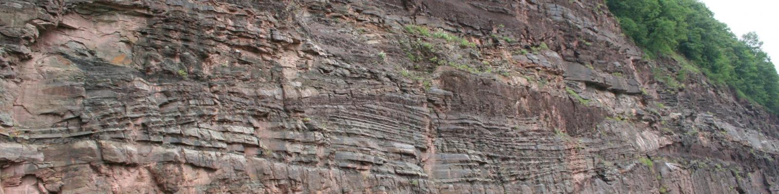
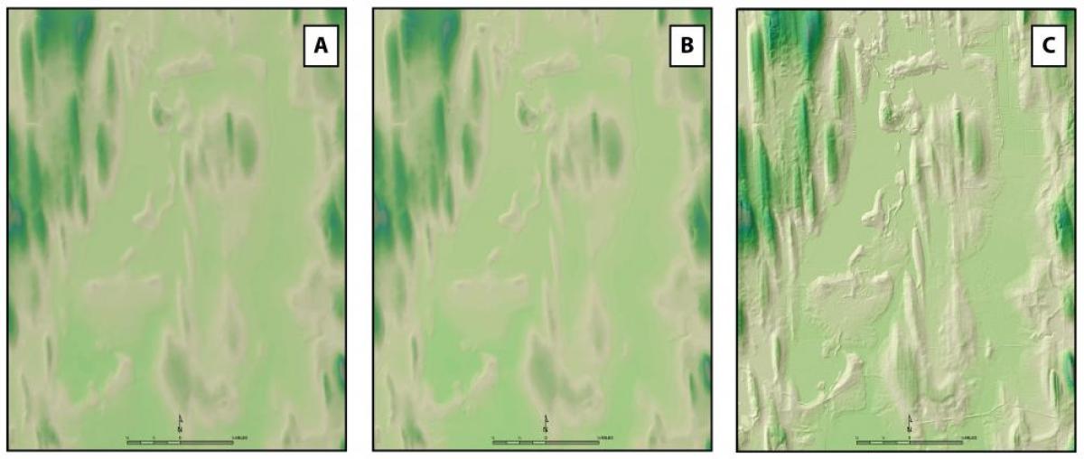
LIDAR is a technology derived from space missions used to map and calculate accurate distances. That early technology has been developed and redeployed for use in a variety of fields. Modern day LIDAR is collected on an aerial platform and utilizes downward shooting lasers in the form of a point cloud (high density of point data) that sends a primary reflection (or return) back from tops of trees and buildings, and then a secondary reflection back from the surface of the earth. The timber industry utilized this technology to calculate which locations have the tallest trees and thus the best locations for timber harvest. However, the added benefit is that by subtracting the primary return from the secondary return you can produce very high resolution elevation maps of the bare earth with vegetation removed. These bare earth models allow geologists to see the landscape in unprecedented resolution and provide the ability to identify previously unrecognized glacial landforms. Early elevation models were constructed from grids that used 30 meter by 30 meter cells. Other later models used 10 meter by 10 meter cells. In comparison state of the art LIDAR produces 0.5 meter by 0.5 meter cells. The analogy here is that LIDAR is similar to an MRI in the medical field. Once we have LIDAR we can recognize and surgically target certain glacial landforms for further investigation with other methods of geologic exploration. Presently there is LIDAR coverage for approximately 34 of 62 counties in NY. LIDAR cost average about $250/square mile to collect and process. Pennsylvania completed LIDAR coverage for the entire state with processing for nine million dollars in 2009. Since that time LIDAR has been used for mapping extensive flood damage from flooding associated with tropical storms and hurricanes, landslides and other geological related issues.

Related Publications
Kozlowski, A. 2015. Mapping and Materials. Material Matters Spring: 20-21. http://www.nxtbook.com/naylor/NCMB/NCMB0115/index.php#/20
Kozlowski, A.L.; Graham, B.L. (Eds), June 2014, Glacial Geology of Cayuga County of the Eastern Finger Lakes: Lakes, Lore and Landforms; Guidebook for the 77th annual Reunion of the Northeastern Friends of the Pleistocene Meeting, Auburn , NY 140 pp.